Weather
Real-time global weather with city data
Search City
Weather Legend
Precipitation: Low → High
Temperature: Cold → Hot
Wind: Calm → Strong
Clouds: Clear → Overcast
Source: OpenWeather. (2025). Current Weather Data API.
Demographics
2020 Census tracts with simulated population data
Population Density
0-5k
5k-10k
10k-15k
15k-20k
20k-25k
25k+
Source: U.S. Census Bureau. (2020). American Community Survey 5-Year Estimates (2016–2020).
Air Quality
Real-time PM2.5 air pollution from EPA monitoring stations across all 5 boroughs
Next Update At: --:--
PM2.5 Concentration (µg/m³)
0 - Excellent
0-12 µg/m³
12-35 µg/m³
35-55 µg/m³
55-150 µg/m³
150-250 µg/m³
250+ µg/m³
Source: OpenWeatherMap + EPA AirNow (32 monitoring points)
Land Use
C2 Commercial Special District Zoning Overlay for New York City.
Layers
Legend
Source: NYC Department of City Planning. (2025). NYC Zoning Resolution & Zoning Maps.
Static Print Maps
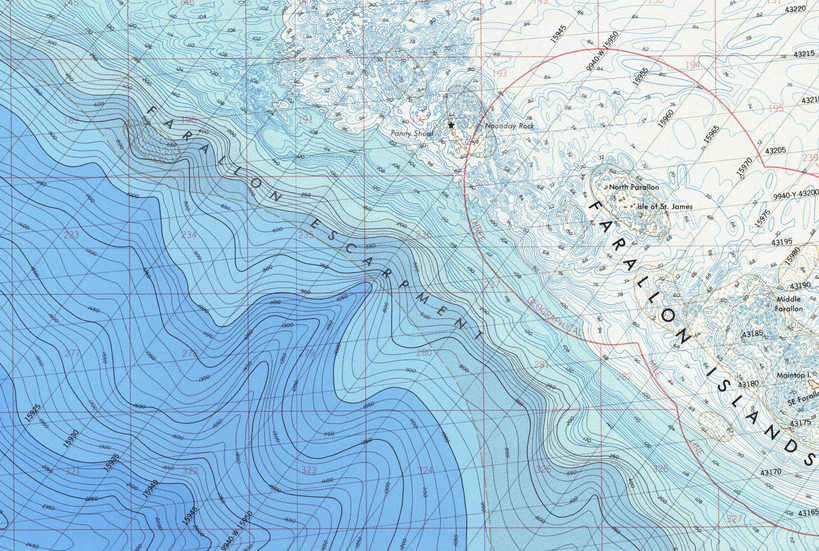
Print maps of any size featuring topography, bathymetry, zoning, transportation, geology, and more.
