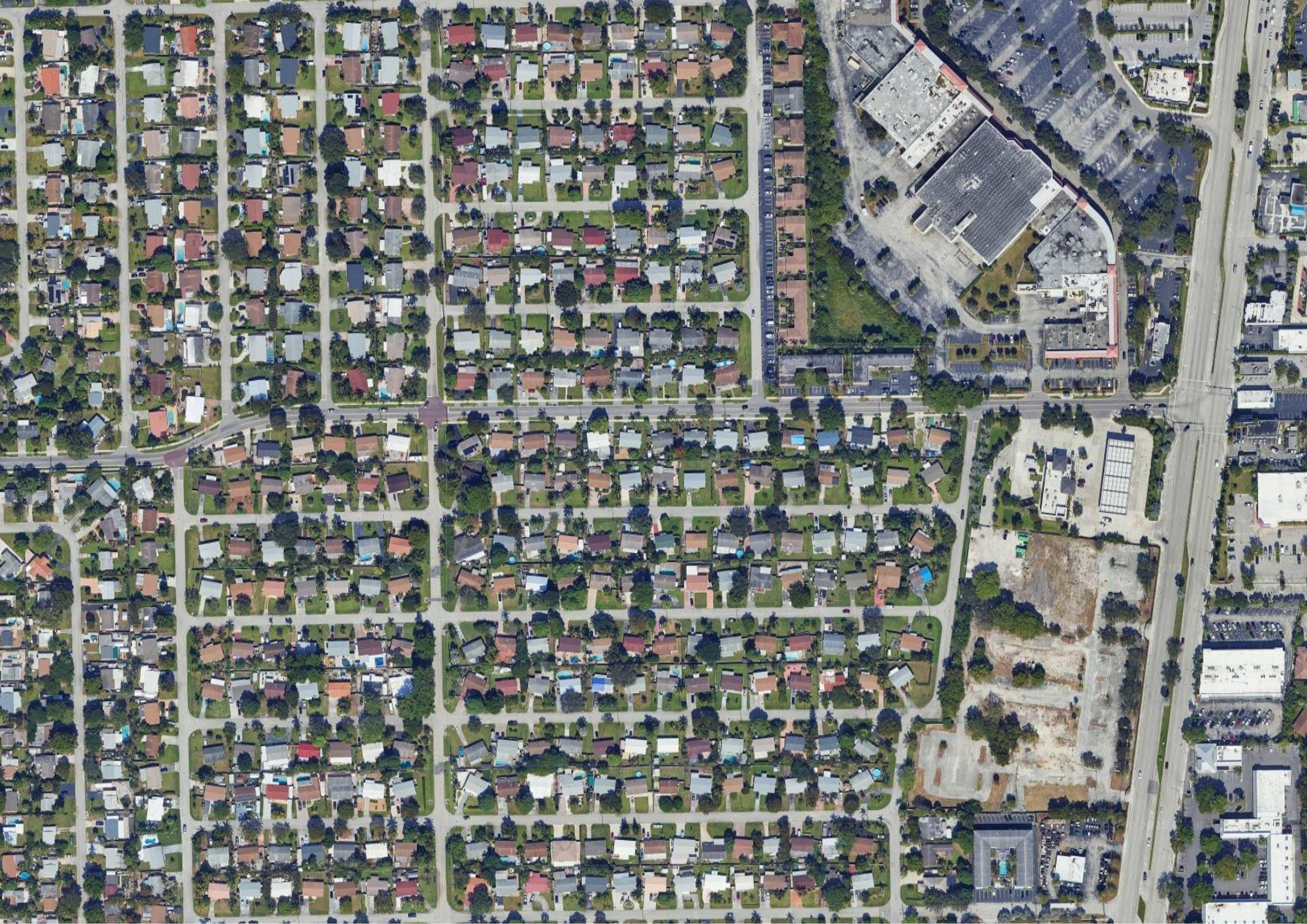
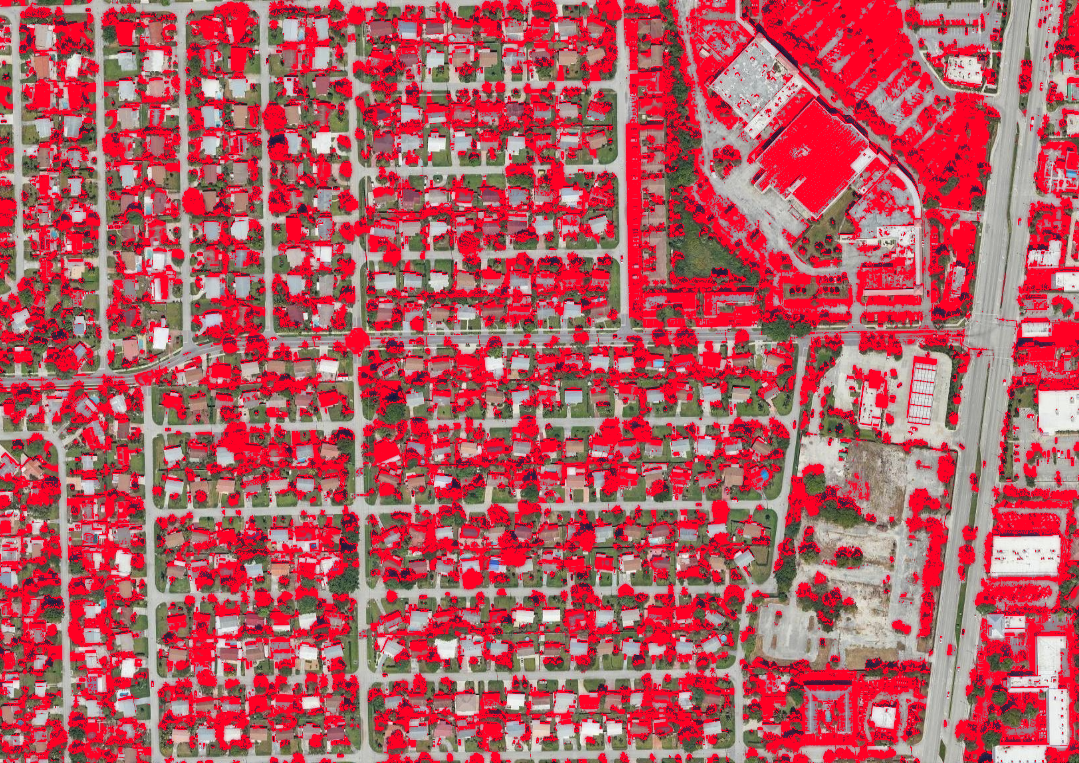
Urban Heat Island Mapping
This image uses machine learning algorithms including classification and anomaly detection to extract temperature patterns from satellite imagery. It shows how surface heat varies across the city, highlighting urban heat islands.